QLAB
HARVARD UNIVERSITY INTELLIGENCE PROJECTStructure combines geospatial foundation models, world models, and an agentic data science team to investigate the physical and geopolitical world.
Every day, terabytes of new observation are recorded, optical and radar imagery, weather, ships, flights, prices, events.
We automates knowledge creation from this data. We train geospatial foundation models and world-action models to synthesize and run simulations.
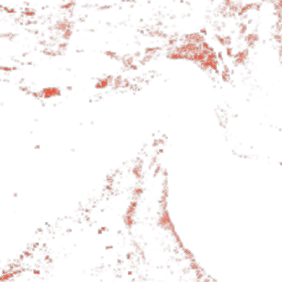
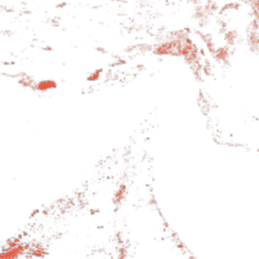
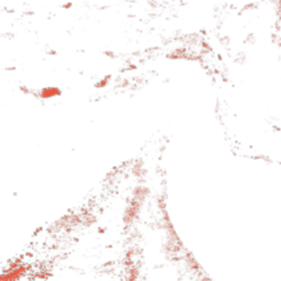
FUEL MOISTURE −5% ADDS, AT 72H+193.7 ACRES (10.5%)
At 72 hours a 5% drop in fuel moisture adds 194 acres (10.5%) and 1.7 housing units inside the footprint.
PYRETECHNICS ON LANDFIRE 2.4.0 · POTENTIAL SPREAD ONLY, NO SUPPRESSION · HOURLY CURVES FROM THE RUN'S OWN ARRIVAL-TIME RASTER · FRAMES: SENTINEL-2 / SENTINEL-1 AT 39.70°N 120.82°W, 44 KM AWAY — SAME LANDSCAPE, NOT THE BURN
Structure is backed by Harvard University's QLAB Intelligence Project, NVIDIA Inception, and Google for Startups.
QLAB
HARVARD UNIVERSITY INTELLIGENCE PROJECT
NVIDIA INCEPTION
STARTUP PROGRAMGOOGLE FOR STARTUPS
STARTUP PROGRAMOur foundation geospatial models fuse imagery, sensors, maps, economics, infrastructure, events, and provenance into fused world state then learns how those states evolve.
OBSERVATIONS → BELIEF STATE → DYNAMICS → POSSIBLE FUTURES
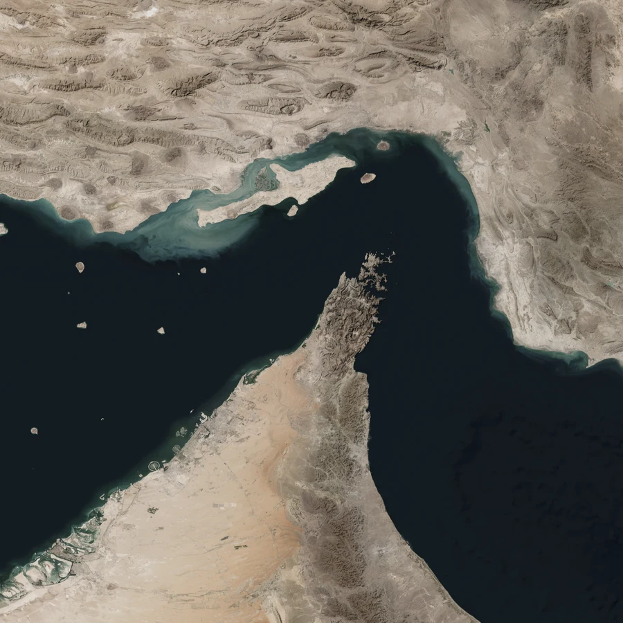
ACTUAL DATA · ALPHAEARTH 2025 GLOBAL EMBEDDING FIELD · 64-D · NATURAL-COLOUR ADAPTER FIT TO NASA BLUE MARBLE · 10,681,024 ADAPTER-VALID EO OBSERVATIONS
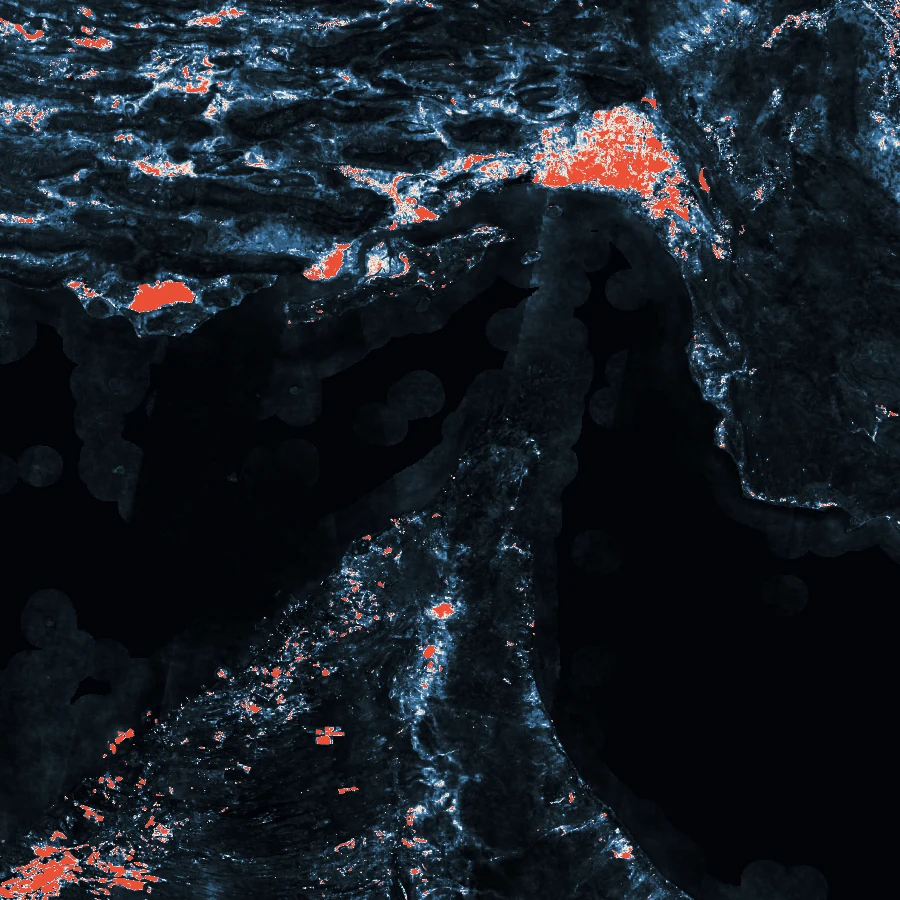
Run simulation of different interventions in specific times and locations. Highlighted overlays show year-over-year changes given specified situations.
DEPLOYED RESEARCH // DECISION SYSTEMS
We use automated analysis and foundation geospatial models into operational systems for institutions making mission critical decisions.
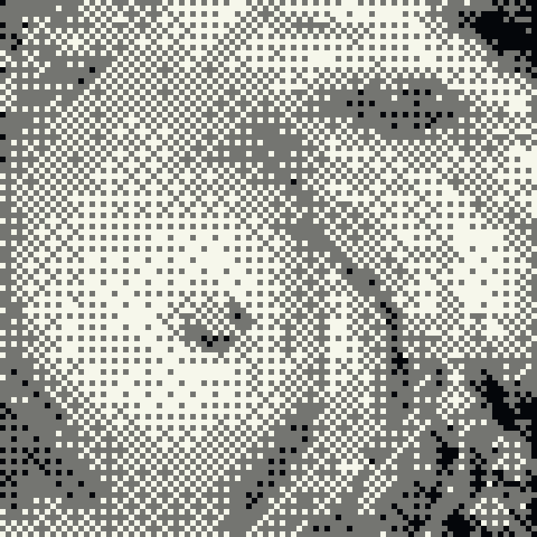
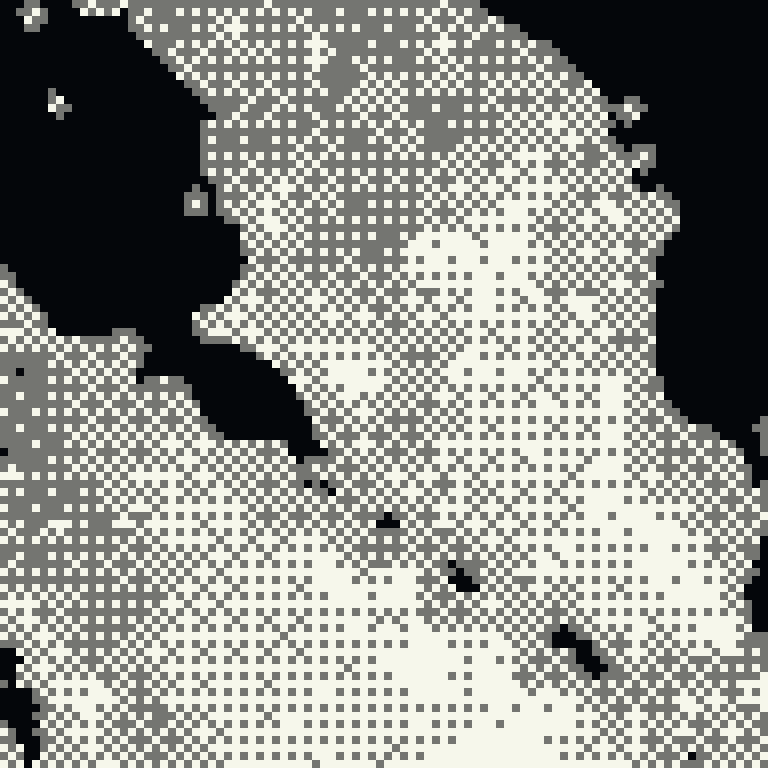
We generate alternative histories to evaluate models against more than the single path the world happened to take.
Granular automated data analysis applies the equivalent of a coordinated team of PhD researchers to each portfolio question.
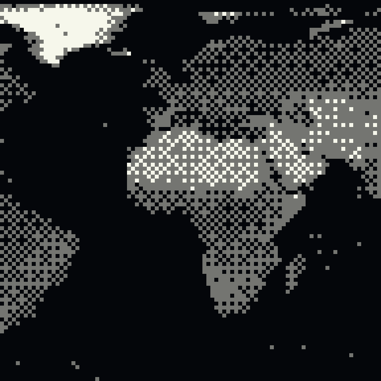
Our geospatial foundation models augment, clean, and infer missing data across international markets where US-grade records do not exist.
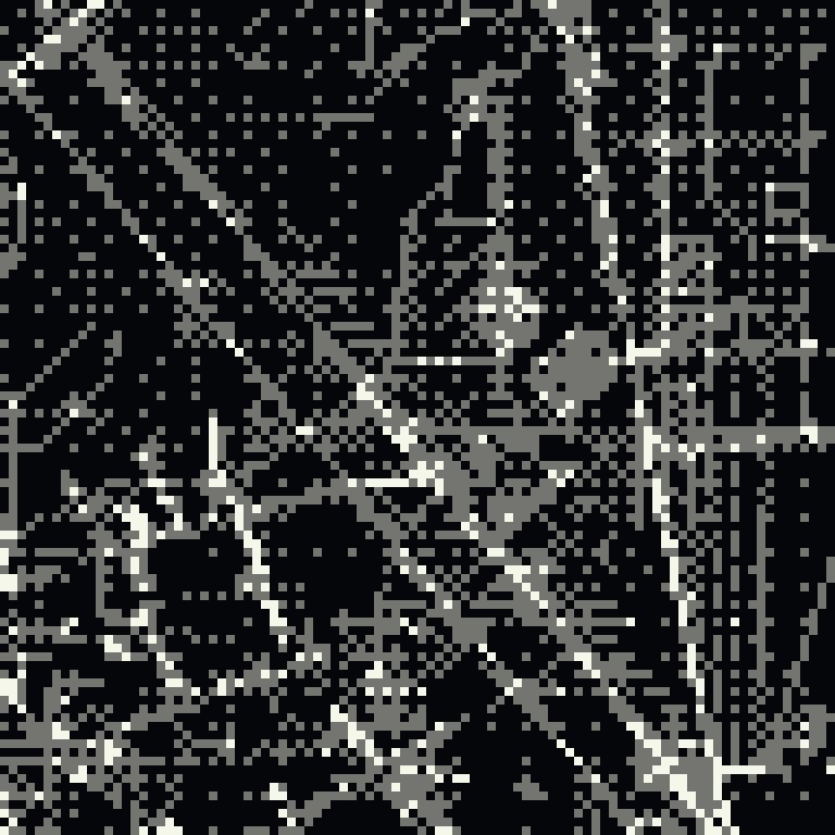
We provide simulation as a service to the Army for mission analysis, readiness planning, and evaluation across controlled scenarios.
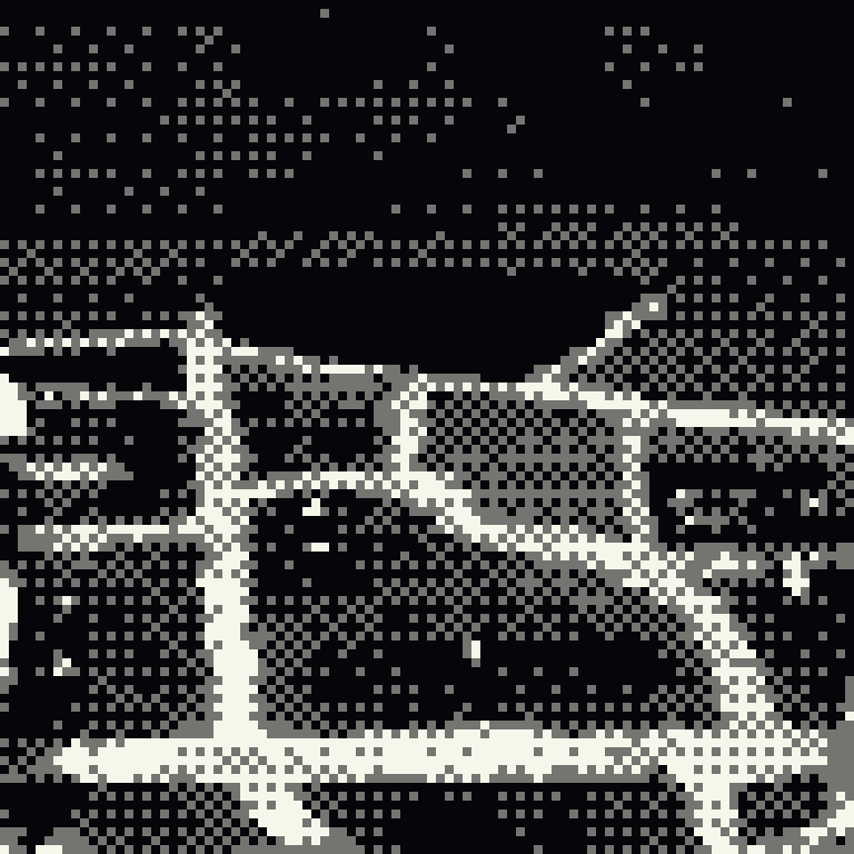
We help special operations teams run scenarios, predict likely outcomes, and plan across operational constraints before deployment.
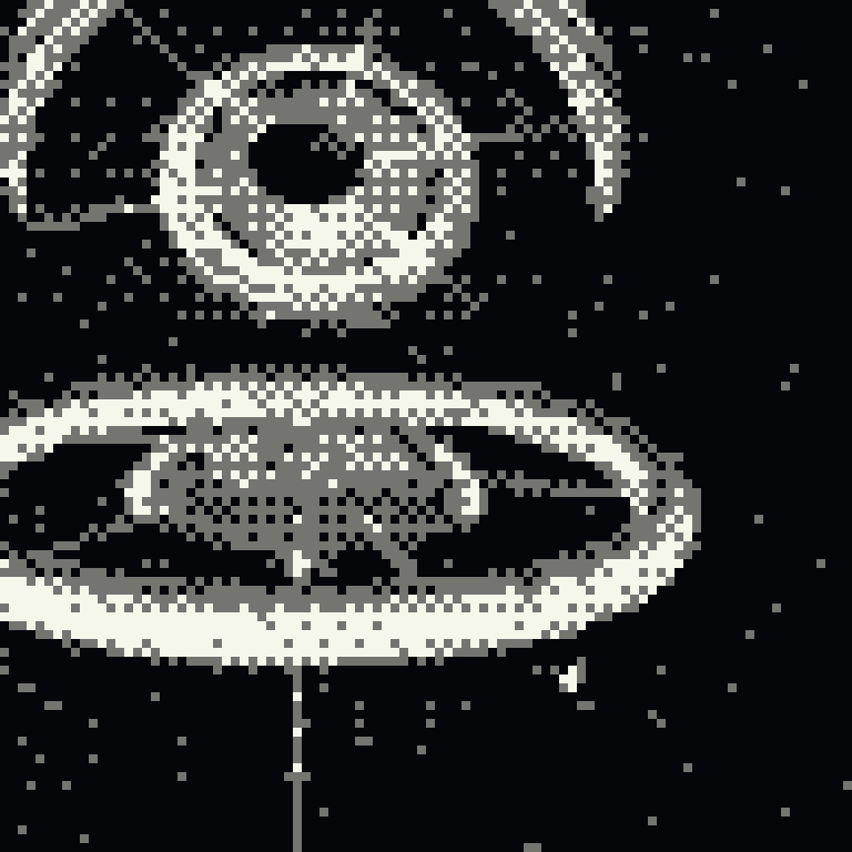
We make analysts more effective by measuring and understanding possible outcomes before they happen.
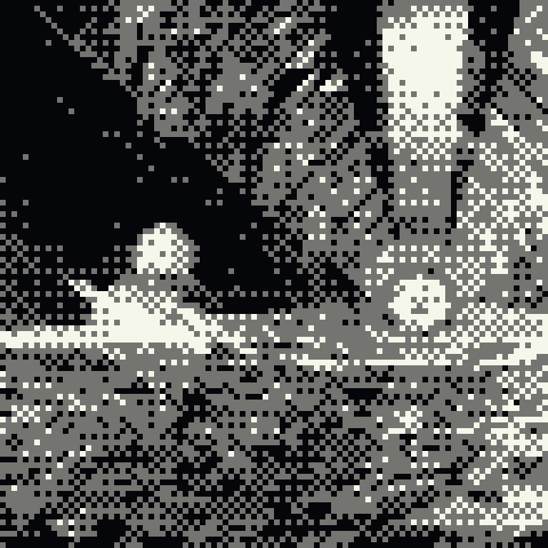
We train foundation world models and geospatial models for forecasting, simulation, and empirical research.
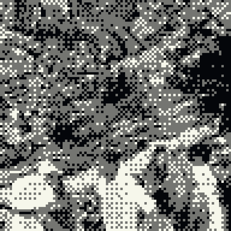
We partner with faculty at leading institutions to publish emerging research in simulation and spatial intelligence.
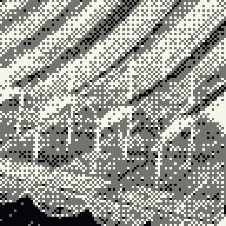
We provide data-analysis support so researchers can design experiments, test hypotheses, and reach defensible conclusions faster.
Design the experiments, find and clean data, run analyses, do robustness checks, and visualize the reuslts. They run and integrate directly with your other tools.
AGENT ROSTER — 8 PROCESSES, 1 PIPELINE
01 ▸ 08 · EACH AGENT HANDS ITS RESULT TO THE NEXT
THE HUMAN + INSTITUTIONAL STATE · NIGHT LIGHTS FROM ORBIT · NASA
WORK WITH US
Our models and data scientist team turns observations and one-off analysis into knowledge for decision support.
HELLO@STRUCTURE.MLCDAO · TRADEWINDS SOLUTIONS MARKETPLACE
Our foundation geospatial models and analyst services are Awardable on the Department of War Chief Digital and Artificial Intelligence Office Tradewinds Solutions Marketplace, providing government customers a streamlined path to evaluate and acquire our technology.

 for Startups